
A journey through Japan’s rural heartland, where you set the pace.
Japan has added another spectacular experience to its ever-growing list of reasons to visit, with a new 350-kilometre walking trail officially opening in Ibaraki Prefecture.
Winding through the region’s bucolic countryside, the Hitachinokuni Long Trail connects six municipalities in a sprawling loop that offers travellers a taste of Japan beyond its bustling cities.
The story behind Japan’s newest walking trail
After seven years of development and a series of staged openings, the Hitachinokuni Long Trail was officially completed in September 2026.
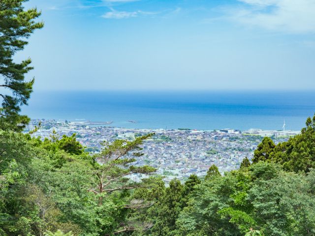
The mammoth project was first proposed in 2019 by local hiking enthusiast Ikuo Wada. His goal? To revitalise outdoor tourism in Ibaraki Prefecture by restoring forgotten trails and connecting rural communities via one continuous track.
Wada teamed up with local governments and partners to bring the vision to life, including the Kilian Jornet Foundation, a global non-profit devoted to the preservation and conservation of mountain environments.

The first section opened in March 2021, a 14-kilometre walking path connecting Shimonomiya and Fukuroda Falls. Originally titled the Ibaraki Kenpoku Long Trail, the route gradually expanded as new sections were added over the following years.
By 2023, the trail had surpassed 100 kilometres and was officially renamed the Hitachinokuni Long Trail, a nod to the region’s historic identity. The final 75-kilometre stretch between Daigo and Hitachiomiya opened in September this year, completing what is now the longest loop-style walking trail in Japan.
But Wada’s work didn’t end with the trail’s completion. Today, he leads the Hitachinokuni Trail Club, a group of more than 900 volunteers dedicated to maintaining and promoting the trail for future generations.
What you’ll see along the way
Winding through the heart of northern Ibaraki, the Hitachinokuni Long Trail traverses a patchwork of landscapes across 350 scenic kilometres. The region is known for its natural beauty and satoyama, a Japanese term that combines the words sato (village) and yama (hill or mountain).

While it traditionally refers to the border zone between forested mountains and arable farmland, satoyama also describes a landscape where humans and natural ecosystems coexist in harmony.
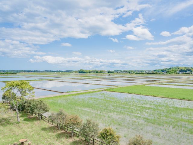
The term perfectly embodies the Hitachinokuni Long Trail – and what hikers can expect to see along the way. Think dense forests, rugged mountain peaks and cascading waterfalls that give way to emerald rice paddies, rolling meadows and fields of flowers.
En route, you’ll pass through six municipalities, ranging from farming villages and traditional towns to industrial hubs and coastal cities. Together, they encompass Hitachi, Hitachiomiya, Hitachiota, Takahagi, Kitaibaraki and Daigo.
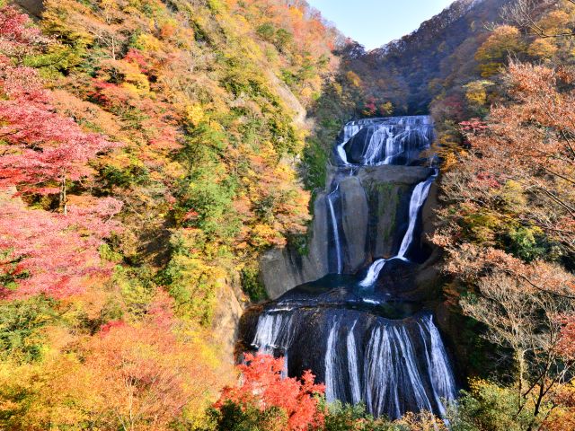
As for the highlights? Well, the possibilities are endless. For starters, you can’t go past Daigo’s Fukuroda Falls, a 120-metre cascade tumbling over four rocky tiers that rivals some of the world’s top natural wonders.
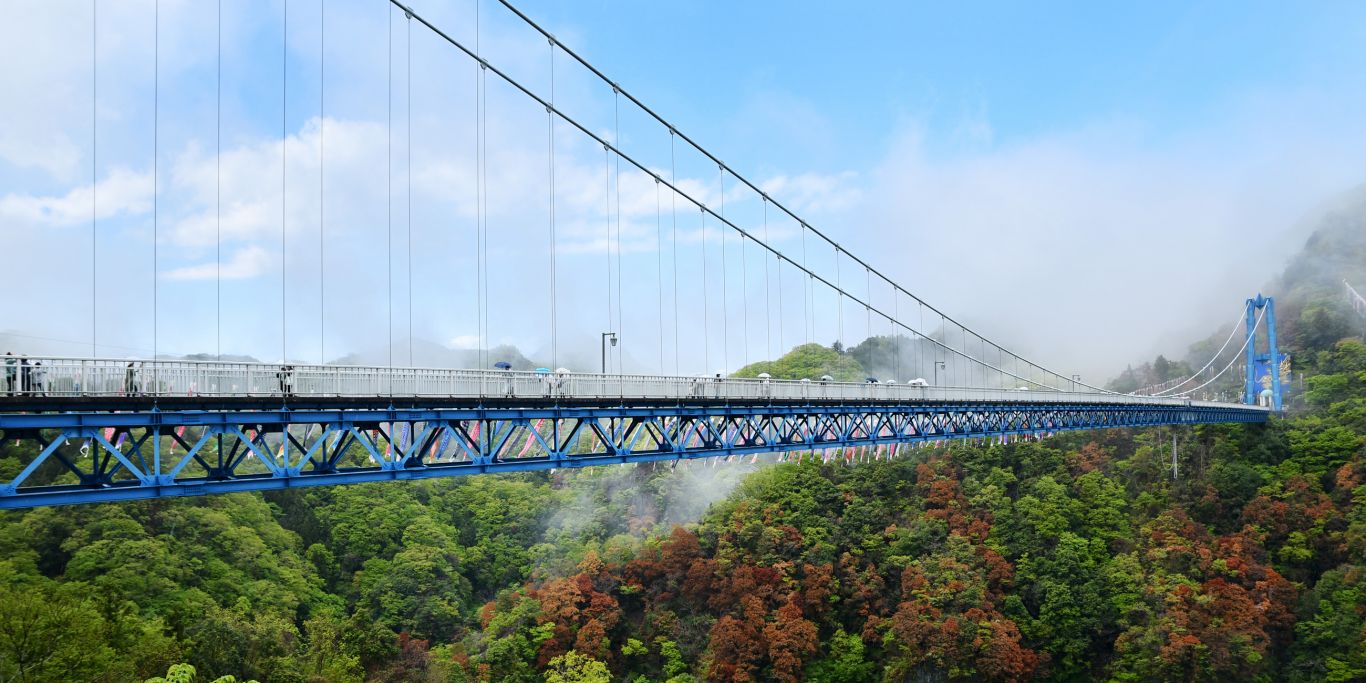
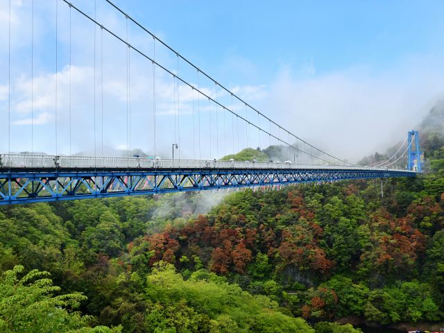
Over in Hitachiota, the dramatic Ryujinkyo Gorge is home to one of Japan’s longest pedestrian-only suspension bridges. Measuring 375 metres, it provides spectacular vistas over the valley. Those with nerves of steel can even leap from the bridge’s centre on a 100-metre bungee jump.
Mount Yamizo is another bucket-list stop. Towering 1022 metres above the surrounding landscape, Ibaraki’s highest peak offers a perfect panorama of the region’s wild beauty. Or opt for seaside serenity in Takahagi, characterised by its pristine beaches that frame cobalt-blue views over the Pacific Ocean.
Weekly travel news, experiences
insider tips, offers, and more.
A practical guide to the Hitachinokuni Long Trail
At 350 kilometres in length, the Hitachinokuni Long Trail might seem intimidating at first. But don’t let the distance put you off – the route’s design means it can be easily broken down into shorter, more manageable sections.
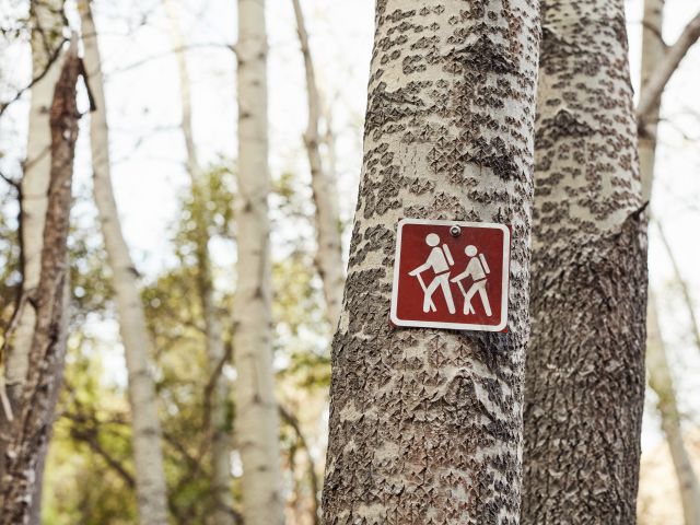
Rather than following a traditional one-way route, its looped configuration allows hikers to dip in and out at different access points. With six municipalities along the way, you’re free to choose where your walk begins and ends.
If you do choose to tackle the entire Hitachinokuni Long Trail, you’ll find plenty of accommodation options along the way. From traditional ryokans in rural Hitachiomiya to Kitaibaraki’s relaxing hot-spring hotels, there’s no shortage of places to rest between sections.
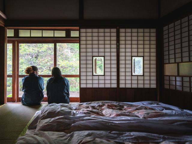
Located northeast of Tokyo, Ibaraki Prefecture is easily accessible by train. The Hitachi Limited Express from Euno Station takes roughly 80 minutes and drops you in Ibaraki Prefecture’s capital city of Mito. Or you can catch a bus from Tokyo Station, with services connecting to various cities across the region.
Before setting off, hikers can download route maps and information pamphlets from the official Hitachinokuni Long Trail website, which will help you plan your walk. Guided experiences are also worth exploring for those who prefer a little local expertise.
Want to see more stories from International Traveller in your Google search results?
- Click here to set International Traveller as a preferred source.
- Tick the box next to "International Traveller". That's it.